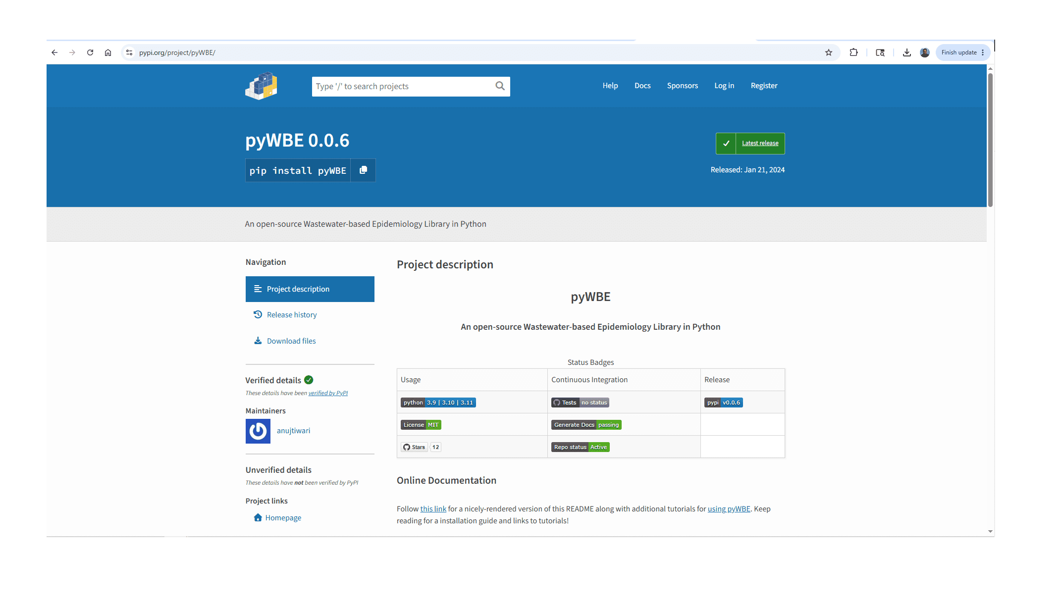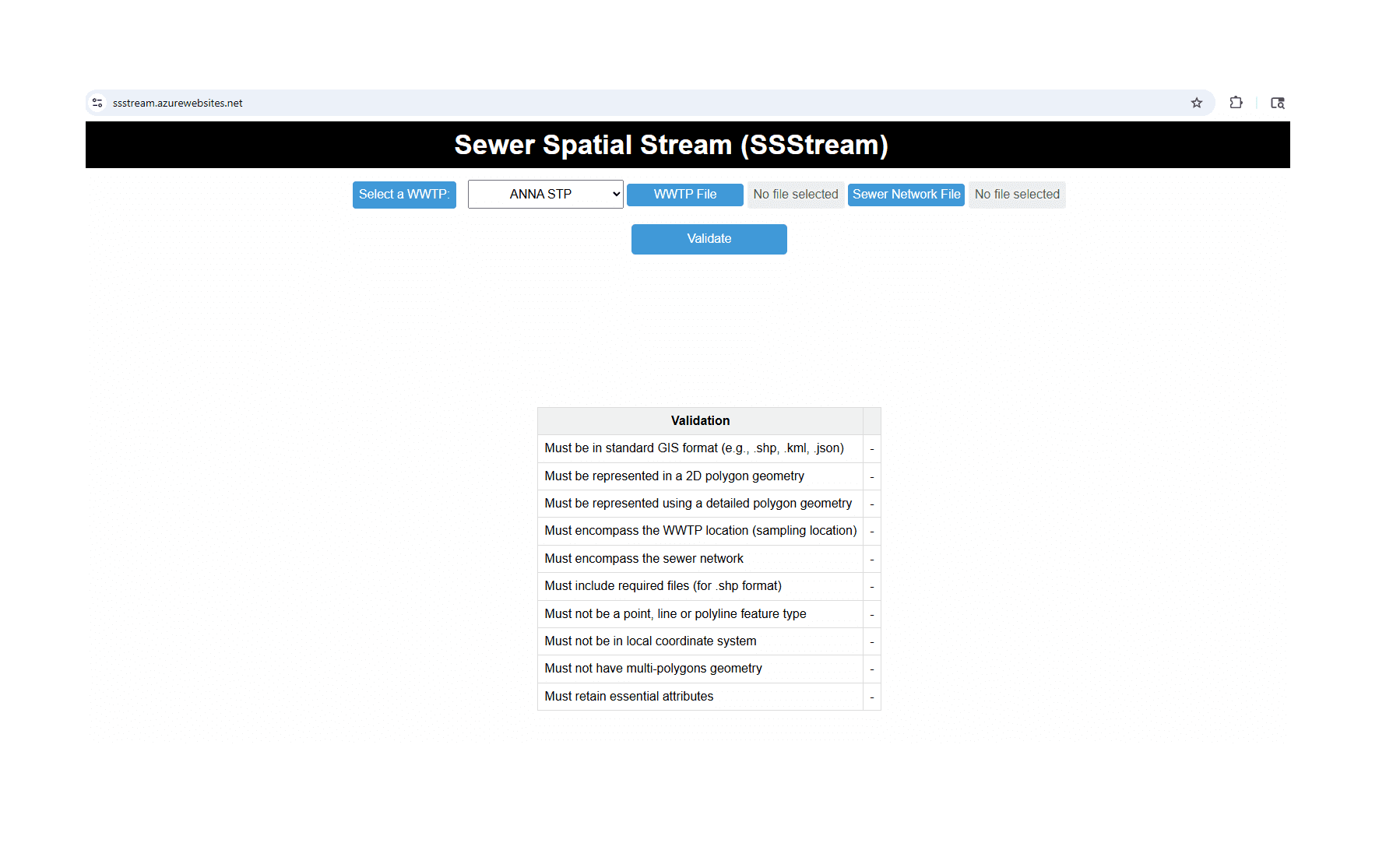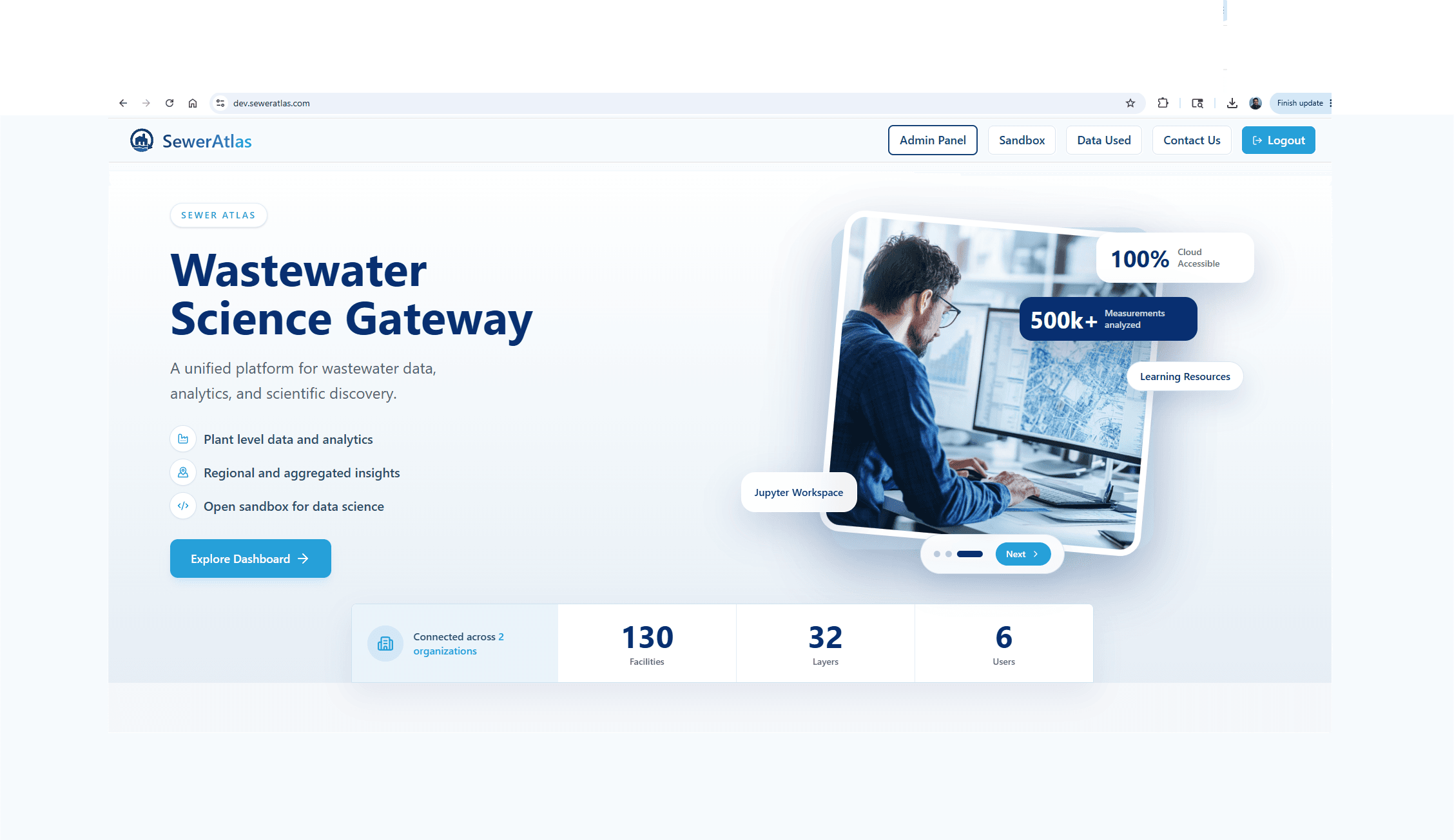
Sewer Atlas - Wastewater Science Gateway
Sewer Atlas is a Wastewater Science Gateway that integrates infrastructure, environmental, and public health data into a unified analytics platform. Through interactive dashboards, geospatial tools, and a cloud-based data science environment, users can explore wastewater systems, monitor trends, and generate actionable insights for research and decision-making.