Spatial Intelligence & Analytics
Understanding places, populations, and environments through advanced spatial analysis.
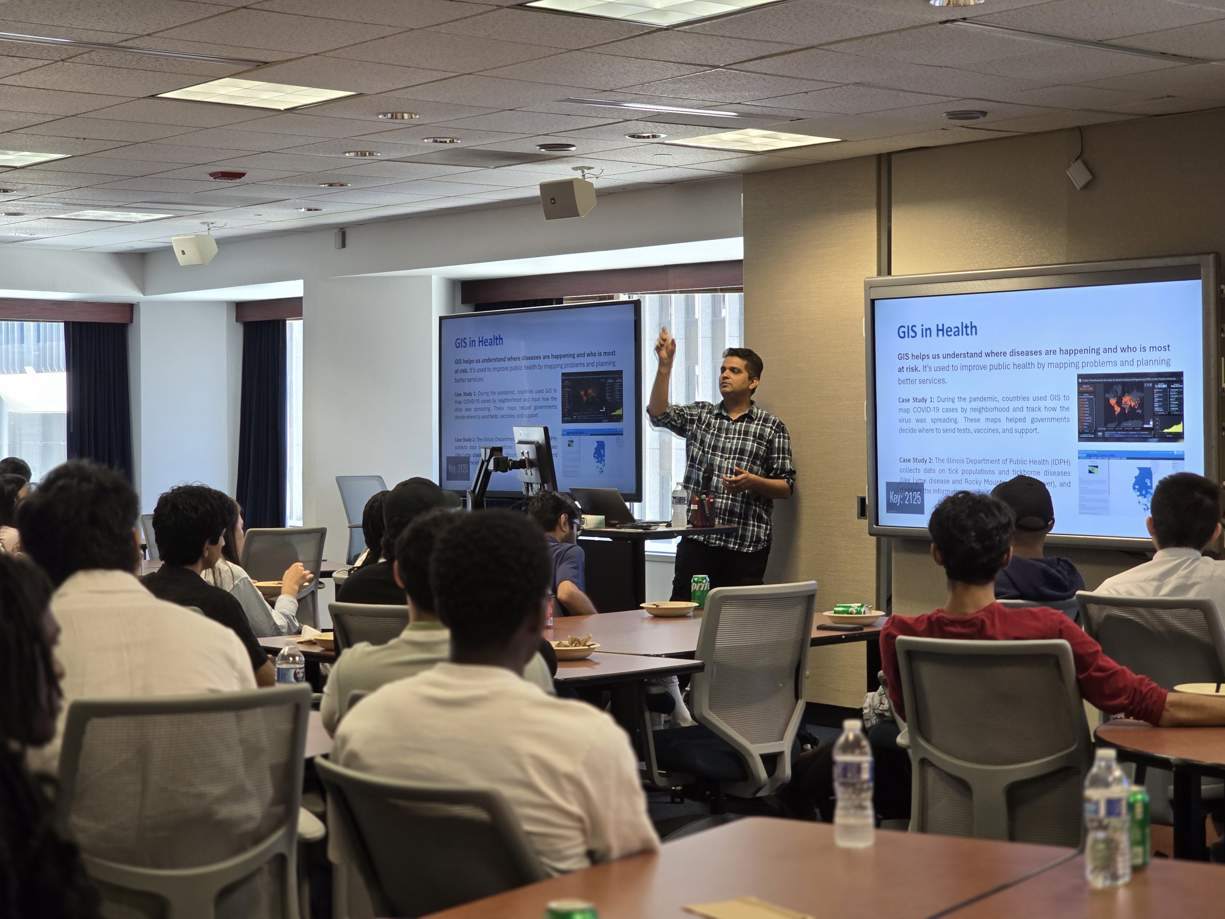
One Spatial Lab leverages spatial science, remote sensing, and artificial intelligence to address complex challenges across human, animal, and environmental systems. Through interdisciplinary research, geospatial intelligence, and digital innovation, the lab transforms data into actionable insights that support decision-making, policy development, and sustainable solutions. Our work bridges science, technology, and practice to advance healthier communities, resilient environments, and informed action through a One Health perspective. Equally important, we are committed to developing the next generation of scientists and innovators. We actively engage high school students, undergraduate and graduate researchers, and postdoctoral scholars through hands-on projects, mentorship, and applied learning opportunities. By working on real-world challenges alongside our team, trainees gain practical skills in geospatial technologies, data science, AI, research, and solution development while contributing to meaningful impacts in communities and ecosystems.
Understanding places, populations, and environments through advanced spatial analysis.
Creating user-centered platforms that transform data into accessible information.
Bridging human, animal, and environmental systems to support holistic decision-making.
Leveraging artificial intelligence to generate insights, predictions, and practical solutions.
New Publication Alert
May 1, 2026
Welcome High School Interns
May 13, 2026
Welcome Graduate Interns
May 12, 2026
NSF NCSES AI-DQSI Framework Plan report
Jan 1, 2026
The One Health Vulnerability Dashboard is an interactive platform that integrates human, animal, and environmental determinants data to identify, visualize, and support decision-making across communities and regions.
One Health • Web GIS • Vulnerability
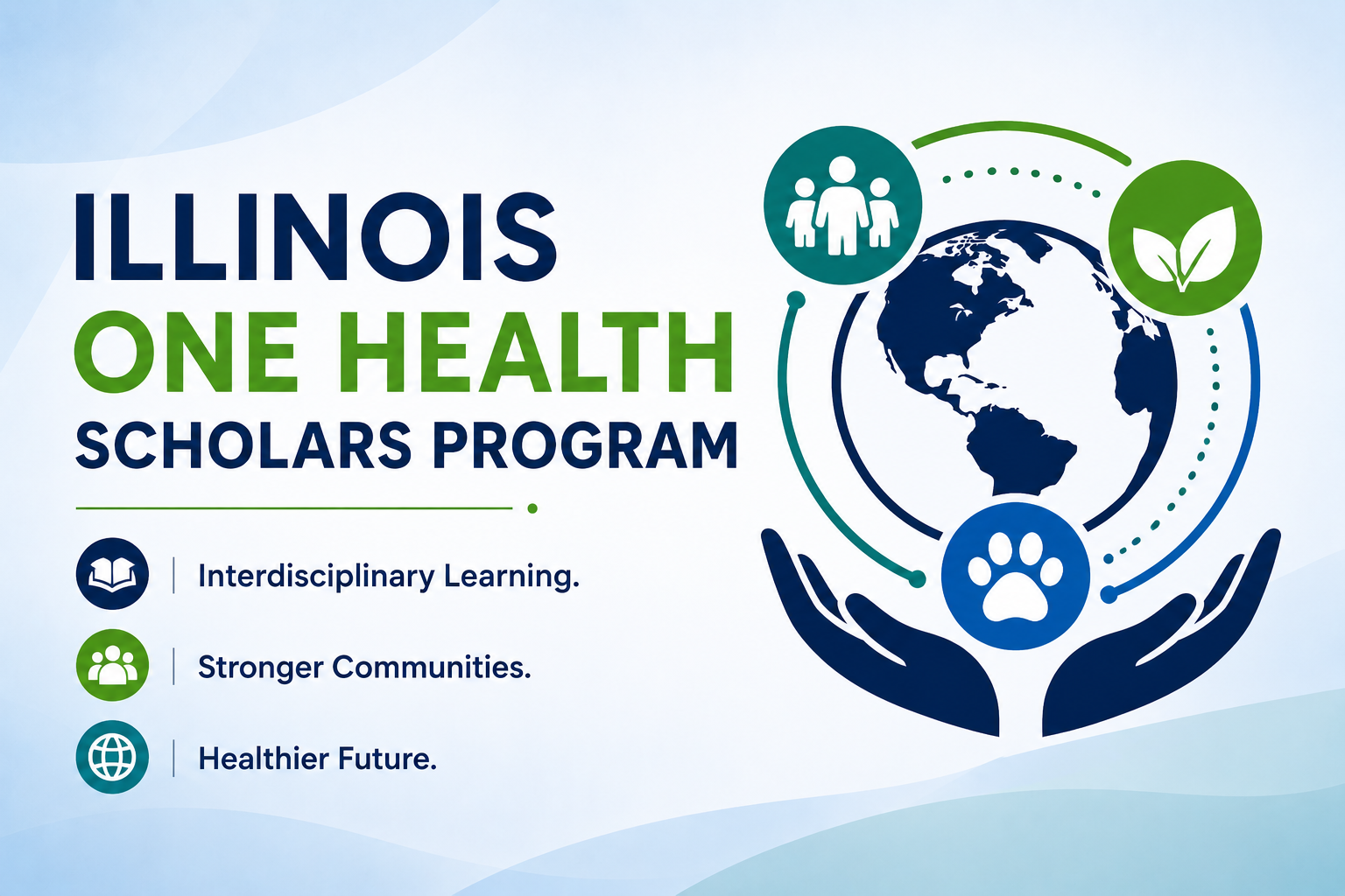
This program develops a multidisciplinary workforce through One Health education, mentorship, and applied learning experiences that strengthen collaboration across human, animal, and environmental health sectors.
One Health • Internship • Health Departments
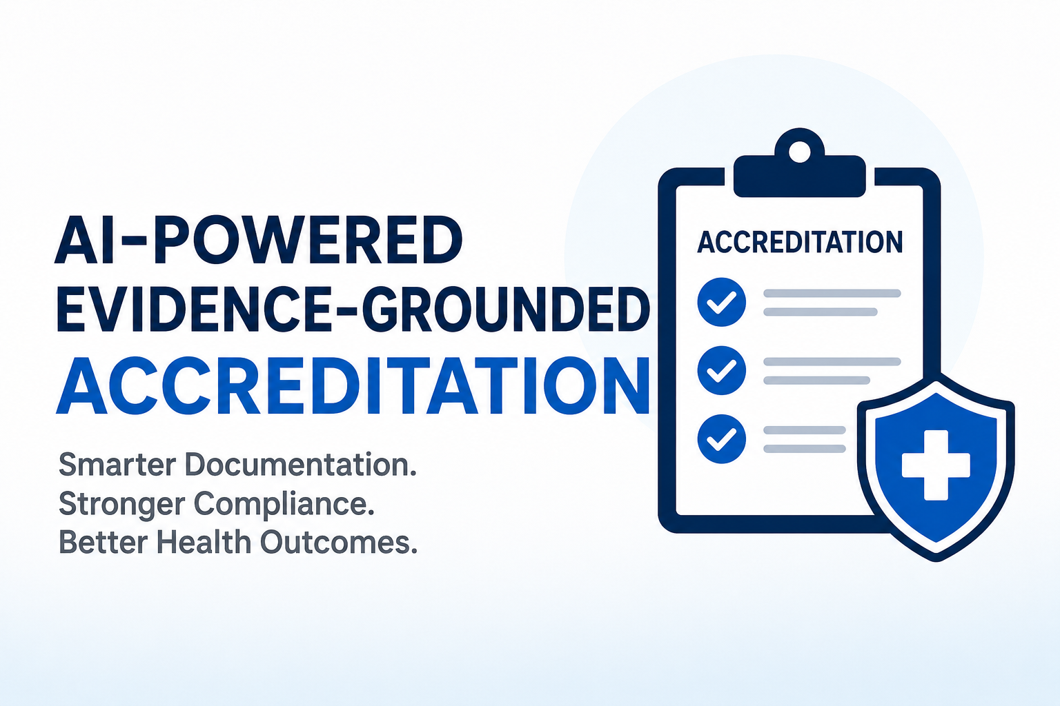
This project develops an AI-powered, evidence-grounded system using LLM to assist public health agencies in automating and streamlining accreditation documentation and reporting workflows.
Air Quality • Exposure • Analytics
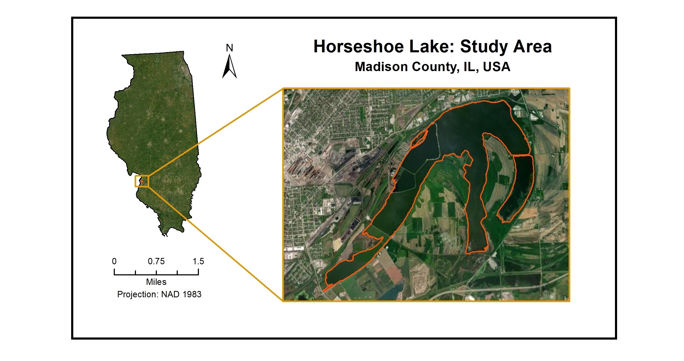
This project examines catchment dynamics and watershed processes influencing Horseshoe Lake water quality through the integration of remote sensing, environmental monitoring, and geospatial analytics.
Watershed • Remote Sensing • Water Quality
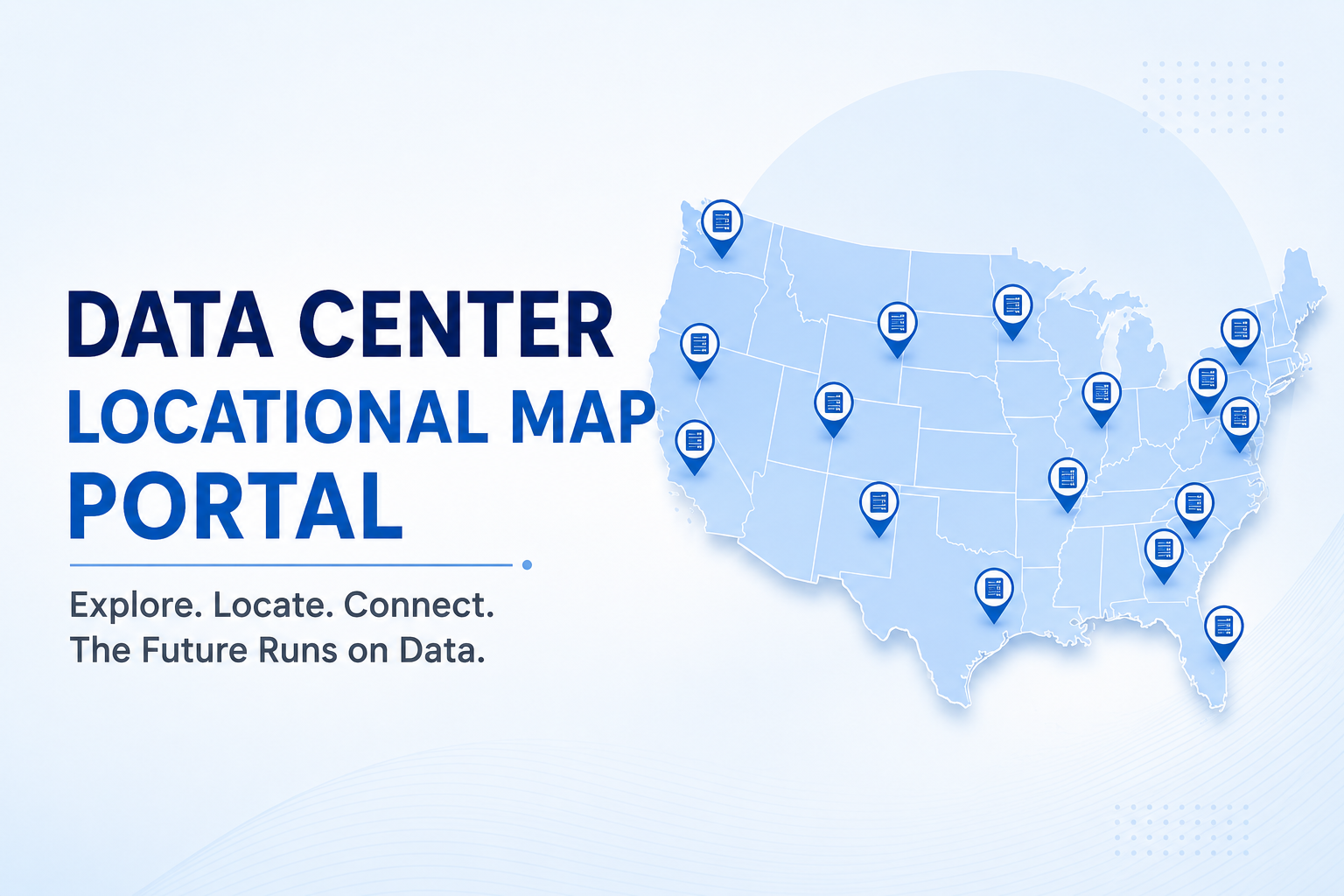
This project analyzes demographic, environmental, economic, and infrastructure conditions within data center host communities to better understand local impacts, opportunities, and vulnerabilities.
Data Center • Dashboard • Community